Services
Upload Scan
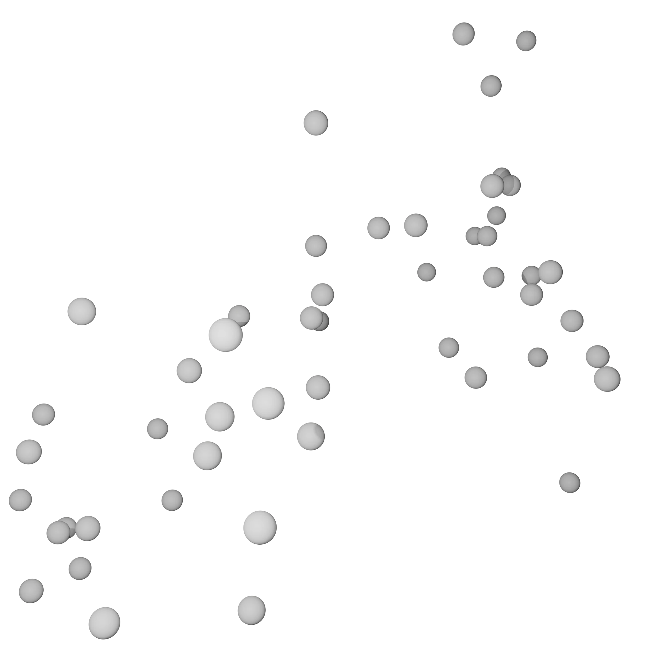
Upload points in e57, xyz/txt (ASCII), or las/laz formats.
AI Labelling
Watch as your point cloud automatically receives class colour using state-of-the-art deep learning models.
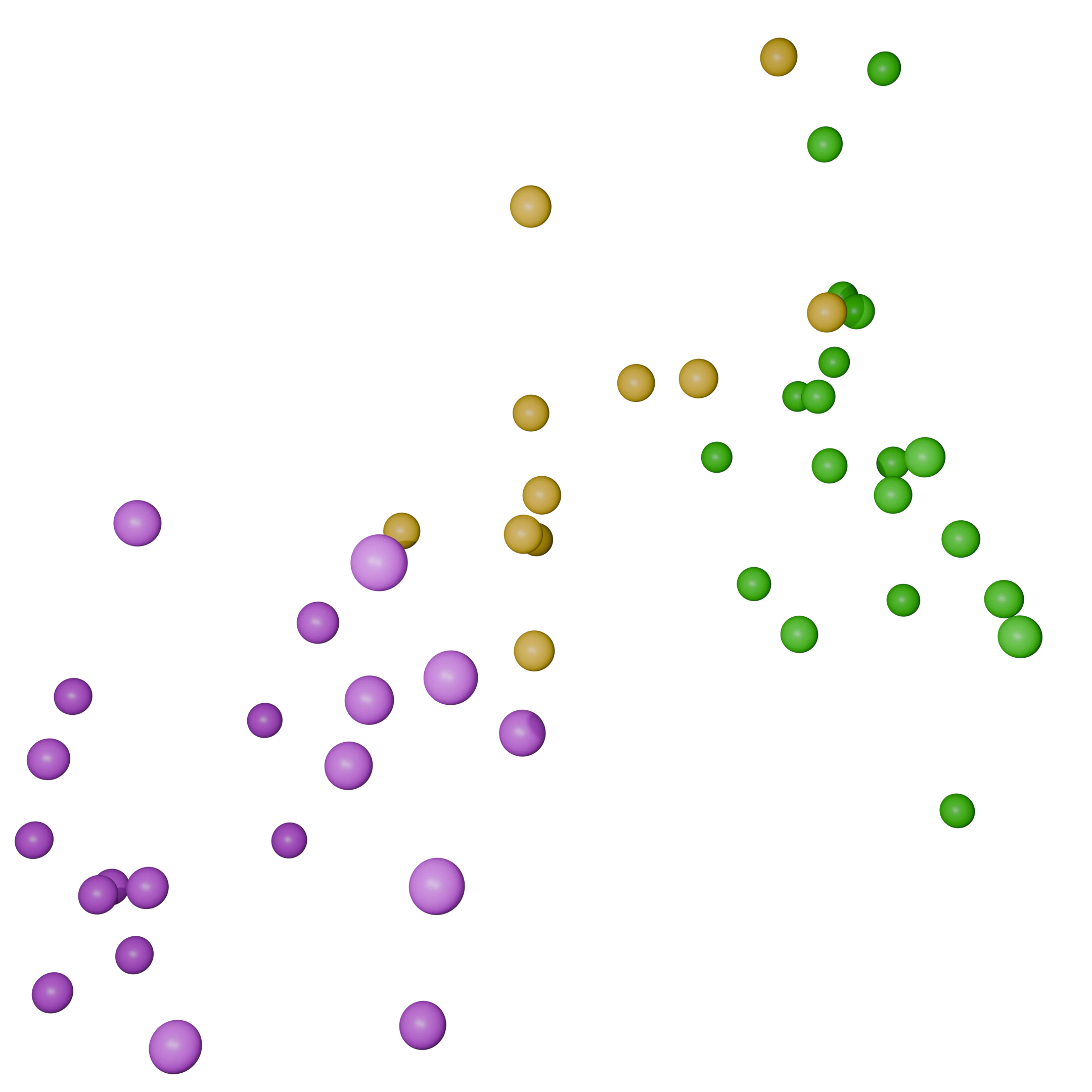
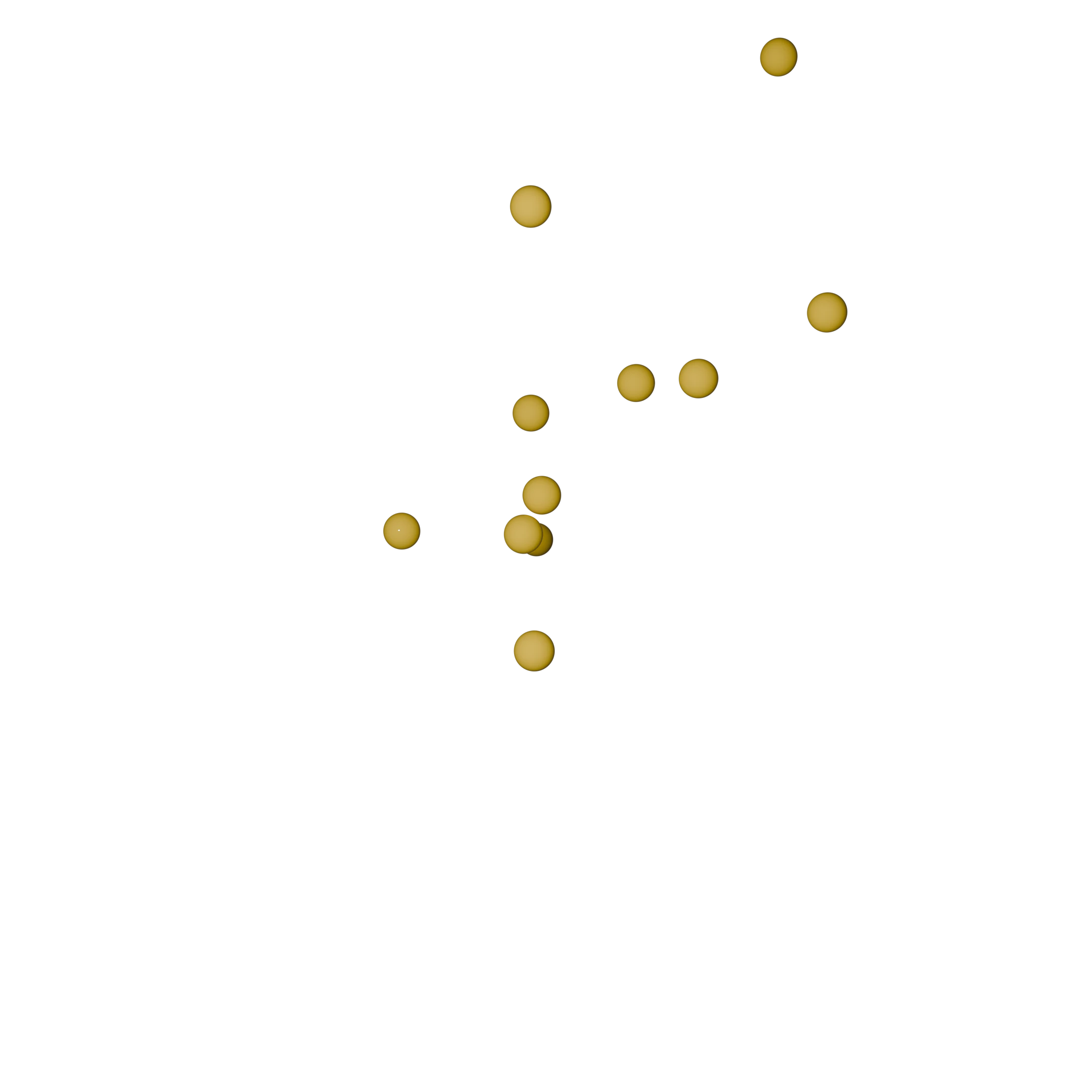
Segmentation
Utilise these class values for your downstream workflows automating clustering and isolating regions of interest.
Scene AI v0.1
Surveyor/3D Designer
Already have a point cloud and want to 3D model it? Use Pointcanvas Scene AI to accelerate the processing of point clouds for surveying, engineering, and visualisation projects.
- Multiple supported input formats
- MEP AI classifier for industrial sites
- Multiple AI models for classes available
- Visualise whole point cloud online and measure distances
- Download individual decluttered point clouds
Made for surveyors, 3D designers, for up to 8x speedup when removing clutter and isolating components.
Twin AI
Engineer/Architect
Create a 3D digital twin from a 3D scan. Twin AI helps convert raw scan data into accurate, editable 3D models ready for BIM, CAD, and visualisation workflows.
- Detailed spatial as-built documentation generated from scan data
- Export to IFC, OBJ, FBX, and glTF formats
- Support for e57, las/laz, xyz/txt (ASCII), and ply inputs
- Interactive online 3D model viewer with measurement tools
- Offshore asset management with deep spatial insights
- Infrastructure documentation walkthrough
- As-built BIM modeling for renovation and retrofit projects
- Construction progress monitoring and verification
- Facility management for scheduling repairs
- Health and safety compliance checking
Designed for engineers, surveyors, 3D designers, and architects who need accurate digital twin models generated directly from point cloud data.